Overall Goal: Turn an unused pasture into a food forest guild with nut producing trees as the anchor.
New members to my local community group asked me to come over to their property and do a property walk – give an assessment and a design plan for adding a food forest and regenerative practices to their unused pasture.
Goals:
- They want to add a food forest (nut and fruit trees and shrubs) to the pasture between the house and the pond to the North.
- They want to add paddocks to the other pastures to the North of the pond.
- They want to add some trees around the pond.
Contour Map of the Property
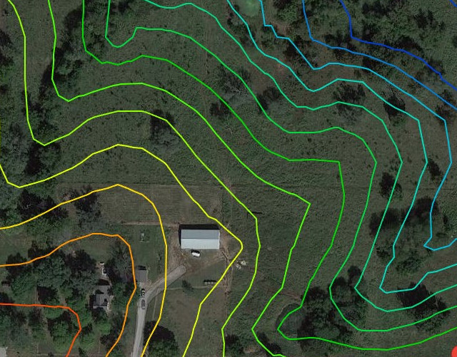
Focusing on the main area, I see that it slopes down to the North and Northeast into a gully area. They want to have the food forest north of the pasture fence, north of the barn.
Why not apples or other fruit trees?
They originally wanted apple trees, but that would not be recommended for this area, being the top of the hill and slightly on the north face, with no windbreak. The last five years we have had three late frosts, and consistent early blooming before the traditional last frost date.
Last year I had apples on only one side of the tree, and many of my friends and associates with no windbreak lost their entire apple crop. This year, the pears and peaches bloomed early and were lost to freeze on the “normal” last frost date as well.
We want to stay near the top of the hill, just on the other side of the fence from the barn.
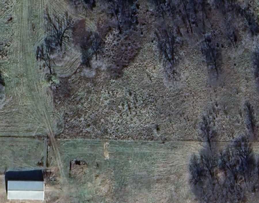
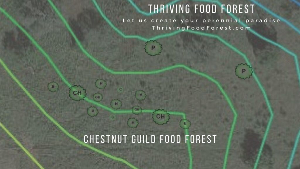
Chestnut Guild Design
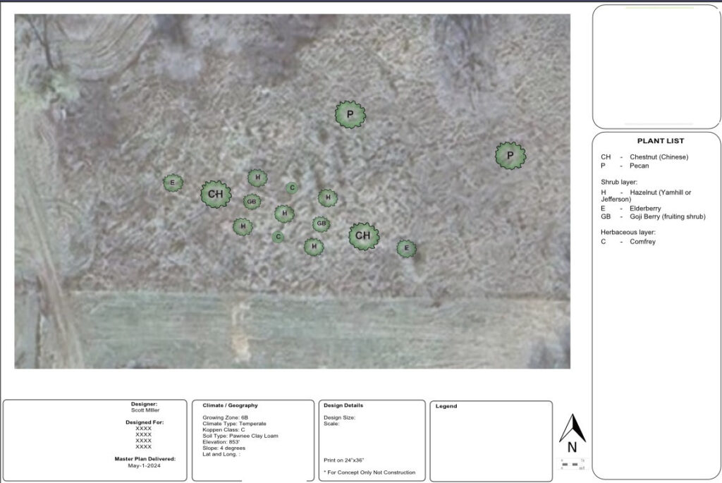
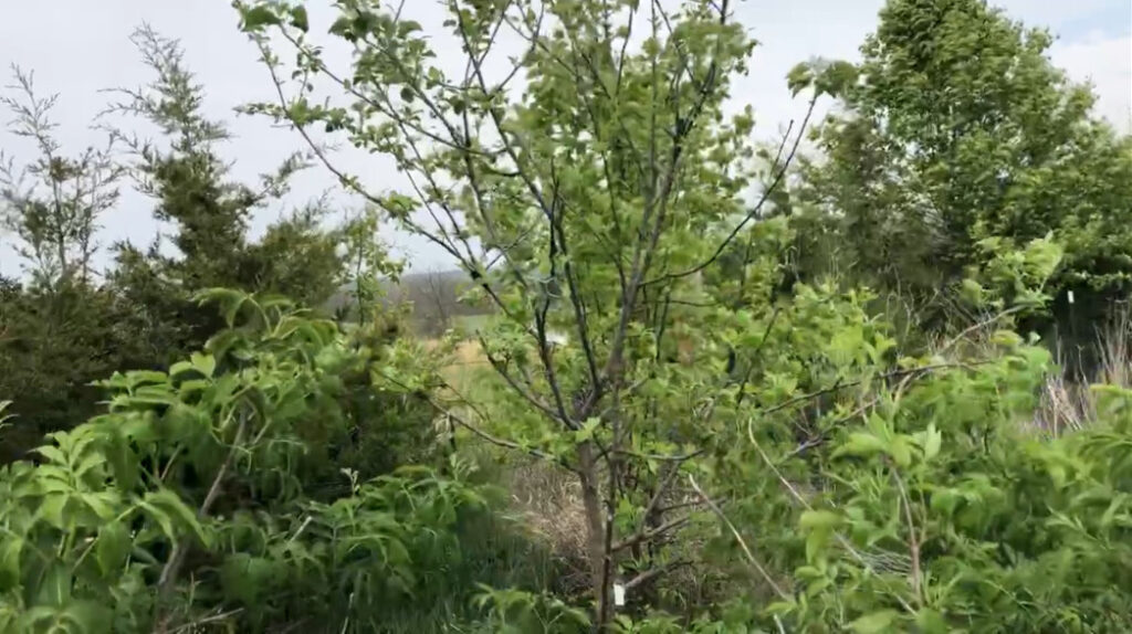
Chestnuts, hazelnuts, goji berries, elderberry, and comfrey.
I can do a similar project for you! See below to sign up for your FREE consult.

We can create an edible foodscape, a perennial paradise so you can grow more food and be more self sufficient. We use fruit and nut trees and perennial plants adapted to the Midwest to create a low maintenance food forest.
Start your journey to Thriving with a free 30 min consult, a discovery call to learn your vision and goals for your land. Sign up for a FREE consult and we can discuss an edible landscape, customized for you!
